You can stay in shape when doing mountain biking. When you have your mountain bike ready for use, you will also need an exciting trail and, in other cases, multiple trails. In New Jersey, there are the best mountain bike trails that are perfect for you.Here, you will see a compiled detailed list of mountain bike trails that suit every need. Each trail has its skill level and the distance you will cover. The beginners are advised to use the shorter trails. To have a chance to succeed in mountain biking, you need a good bike.New Jersey is known as ‘Garden State’ because it offers various terrains that suit any rider. There are five distinct regions in New Jersey. Each region has different landscapes and textures that ensure you have a great view every time. There are numerous topographies for the terrains to offer every rider an exciting experience, regardless of their age and skills.We have highlighted seven top best mountain bike trails in New Jersey:
1. Six Mile Run
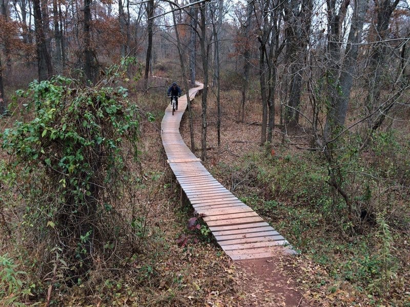
©MTB ProjectThe trails at Six Mile Run are for multi-use. Formerly, the park did not allow cycling. The park staff worked hard to ensure cycling was on the list of activities offered. Hikers, bikers, and equestrians are welcomed.The Six Mile Run Reservoir Site is a part of Delaware & Raritan Canal State Park. It is one of Central New Jersey’s hidden recreational resources. There is parking available at three locations in at Six Mile Run. One of the spots is on Rt. 27, Jaques Lane, and Canal Road. Use the map to identify them.The Six Mile Run is a 15-mile trail mostly used by intermediates. It is a popular mountain bike trail across New Jersey. It is allocated near Franklin town and features more than 3000 acres of land to ride on and explore. The trail has different terrains like farmland and wetlands for the best experience.Six Mile Run has a wide track, which can be considered as a double-track. There are more trails in Six Mile Run, although the main trail is available. To explore more or ride for leisure, you can divert to the other trails. The trail has many technical sections that offer a new and thrilling experience.The main trail is usually for intermediate riders, but you do not need any specific skill level to use the other trails. The Jersey Off-Road Bicycle Association takes care of the roads and keeps them in the best condition for riders. The Red Trail starts from the Jaques lane parking lot to the Rt. 27 lot. It is the straightest path between the two lots and crosses Middlebush Road. This trail will make you avoid the orange trail, which has a twisty section. The unmarked section, which runs from the current trail to Canal road, is no longer recognized by the park staff. The blue trail runs from the Canal lot to connect with the Red trail near Middlebush Road. There are many new sections along this trail to offer diverse riding experience. The orange trail is full of twists. They go round and round with no end. It has twists, turns, berms, and bears.The white trail is a single-track trail running from the Red trail to the Jaques Lane Lot. The trail was created by volunteers and offered great riding with small elevation changes and some bench cut trails. It ends at some open meadow and scrubs brush.The yellow trail is a straight intermediate trail along the water with cool features. The trail is in a flood plain, making it difficult to ride except when there is a drought. It is no longer found in the maps and the park. It is no longer maintained. It is best if you avoid it.
2. Allaire State Park