If you’re heading into remote areas where cell service is unreliable, a rugged GPS device with satellite communication can be a lifesaver. These devices are built to keep you safe when your smartphone fails, offering reliable navigation, emergency SOS features, and long-lasting batteries. Here’s a quick breakdown of the top options:
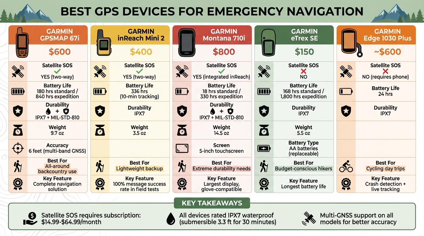
- Garmin GPSMAP 67i ($600): Best overall with two-way SOS, 180-hour battery life, and pinpoint accuracy.
- Garmin inReach Mini 2 ($400): Lightweight and portable with global satellite SOS and 324-hour battery life.
- Garmin Montana 700/710i ($800): Most durable with a 5-inch touchscreen, MIL-STD-810 rating, and rugged design.
- Garmin eTrex SE ($150): Budget-friendly with AA battery support but no satellite messaging.
- Garmin Edge 1030 Plus (~$600): Great for cyclists but requires a paired phone for emergency features.
Quick Comparison:
| Device | Price | Satellite SOS | Battery Life (Standard/Expedition) | Durability | Weight | Best For |
|---|---|---|---|---|---|---|
| Garmin GPSMAP 67i | $600 | Yes | 180 hrs / 840 hrs | IPX7, MIL-STD-810 | 9.7 oz | All-around use |
| Garmin inReach Mini 2 | $400 | Yes | 336 hrs (10-min tracking) | IPX7 | 3.5 oz | Lightweight backup |
| Garmin Montana 710i | $800 | Yes | 18 hrs / 330 hrs | IPX7, MIL-STD-810 | 14.5 oz | Extreme durability |
| Garmin eTrex SE | $150 | No | 168 hrs / 1,800 hrs | IPX7 | 5.5 oz | Budget-friendly |
| Garmin Edge 1030 Plus | ~$600 | No (requires phone) | 24 hrs | IPX7 | N/A | Cycling features |
Key Takeaways:
- For serious backcountry trips, choose a device with satellite SOS like the Garmin GPSMAP 67i or inReach Mini 2.
- If durability is a priority, consider the Montana 710i.
- On a budget? The eTrex SE offers reliable navigation but lacks emergency messaging.
- Cyclists can rely on the Edge 1030 Plus for day trips, but it needs cell service for emergency alerts.
Pro Tip: Always test your GPS and subscription before heading out. For multi-day adventures, carry extra batteries or a power bank, and keep your device in a spot with a clear view of the sky.
These devices are designed to provide peace of mind during your outdoor adventures. Choose the one that fits your needs and terrain for safer, smarter navigation.
GPS Device Comparison: Features, Battery Life, and Pricing for Emergency Navigation
Remote traveller emergency comms in detail & buying guide
sbb-itb-9d75ae1
Best GPS Devices for Emergency Navigation
Here are five rugged GPS devices designed to ensure reliable navigation and communication during emergencies in remote areas. Each one caters to different needs, from lightweight backups to fully equipped standalone systems.
Garmin GPSMAP 67i: Top Pick
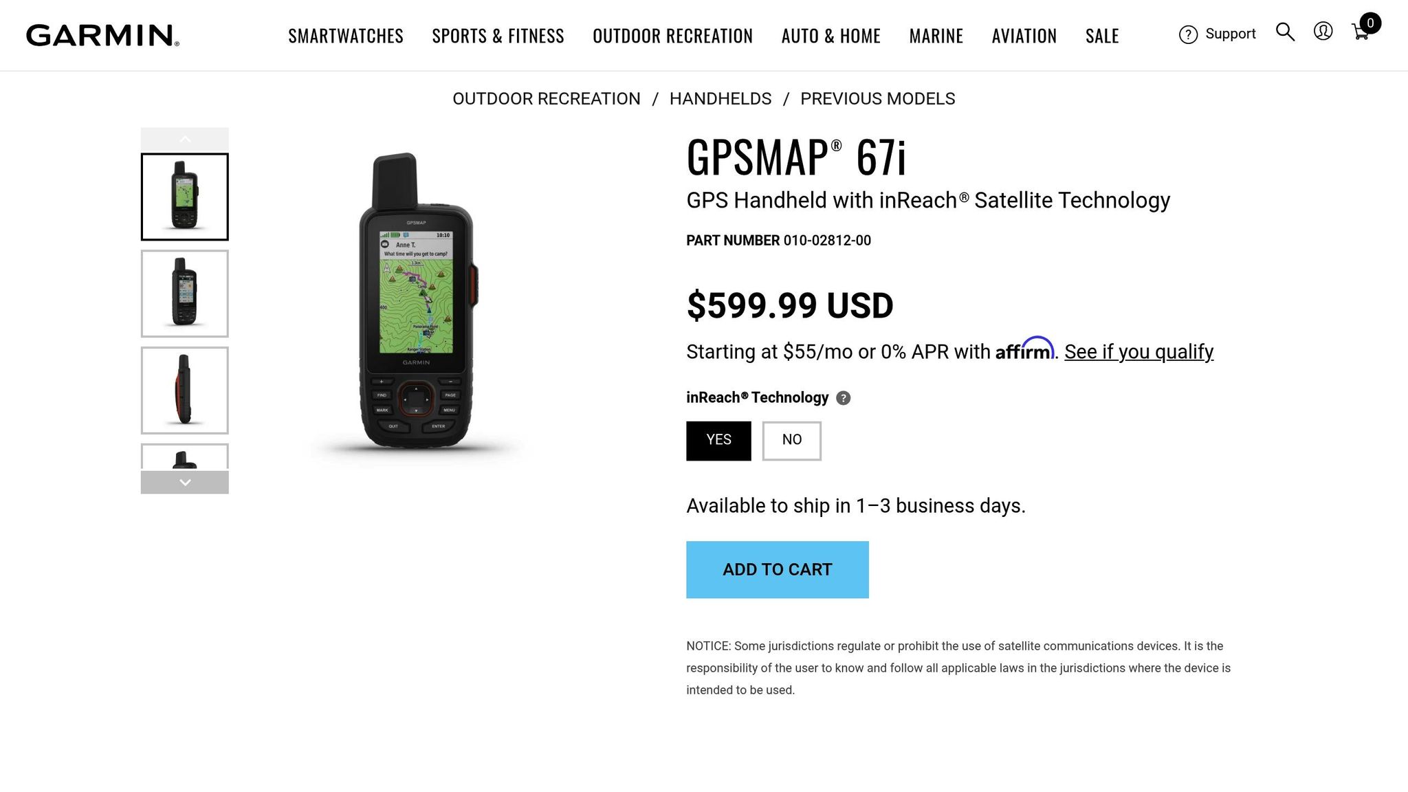
The Garmin GPSMAP 67i (around $600) stands out for its reliable performance under challenging conditions. It acquires satellite signals in just 18–25 seconds, even under dense tree cover, and offers two-way SOS messaging through Garmin Response. The battery life is impressive, lasting 165–180 hours in standard mode and up to 840 hours in expedition mode. With multi-band GNSS, it delivers pinpoint accuracy within 6 feet, even in deep canyons or thick forests where other devices might drift up to 30 feet.
This device features a 3-inch color display and physical buttons, making it easy to operate with gloves in cold weather. It comes preloaded with TopoActive maps and weighs 9.7 ounces, making it a complete navigation solution for when your smartphone fails.
"If my smartphone battery dies on day 3 of a 5-day trip, can I navigate safely? If NO… GPSMAP 67i is mandatory."
– JC Courtland, Outdoor Gear Expert
Keep in mind, inReach features require a subscription, with plans ranging from $14.99/month to $64.99/month depending on your needs.
Garmin inReach Mini 2: Lightest Option
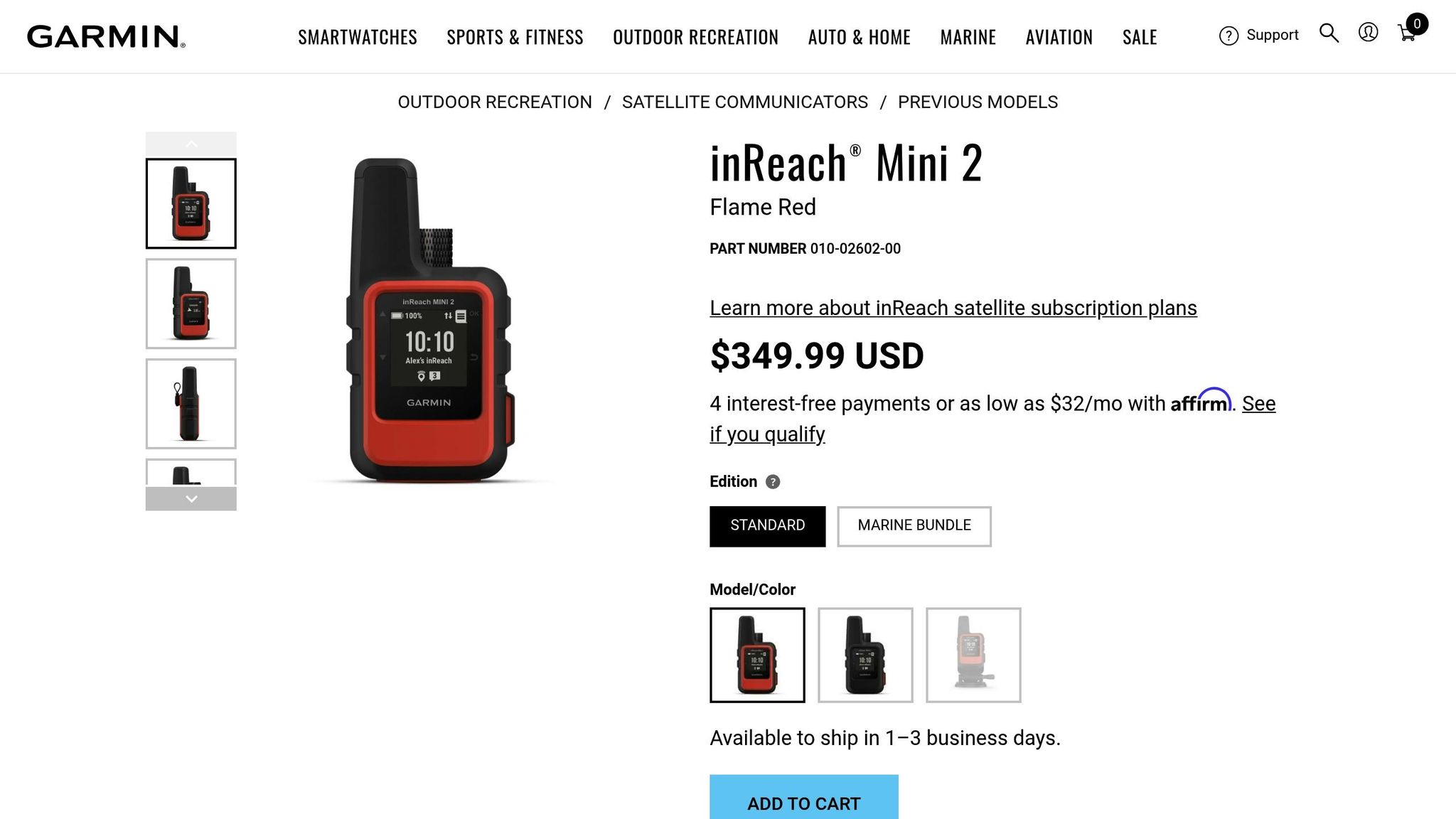
For those who value portability, the Garmin inReach Mini 2 is a compact yet capable choice. Weighing just 3.5 ounces, it offers global satellite SOS functionality via the Iridium network. Priced between $300 and $400, this device proved reliable in field tests, delivering over 50 messages with a 100% success rate in dense forests. Its battery lasts up to 324 hours, making it a dependable emergency tool.
The inReach Mini 2 features a TrackBack function to guide you back to your starting point if you lose your way. However, its 1.27-inch monochrome screen can make composing messages a bit slow – manual SOS message entry takes about 2.5 minutes. It works best when paired with a smartphone for easier messaging and map access. While it lacks preloaded maps, it’s a great lightweight backup for mountain bikers and hikers. To preserve battery life in freezing conditions, keep it in an inner jacket pocket to counteract faster battery drain.
Garmin Montana 700: Most Durable
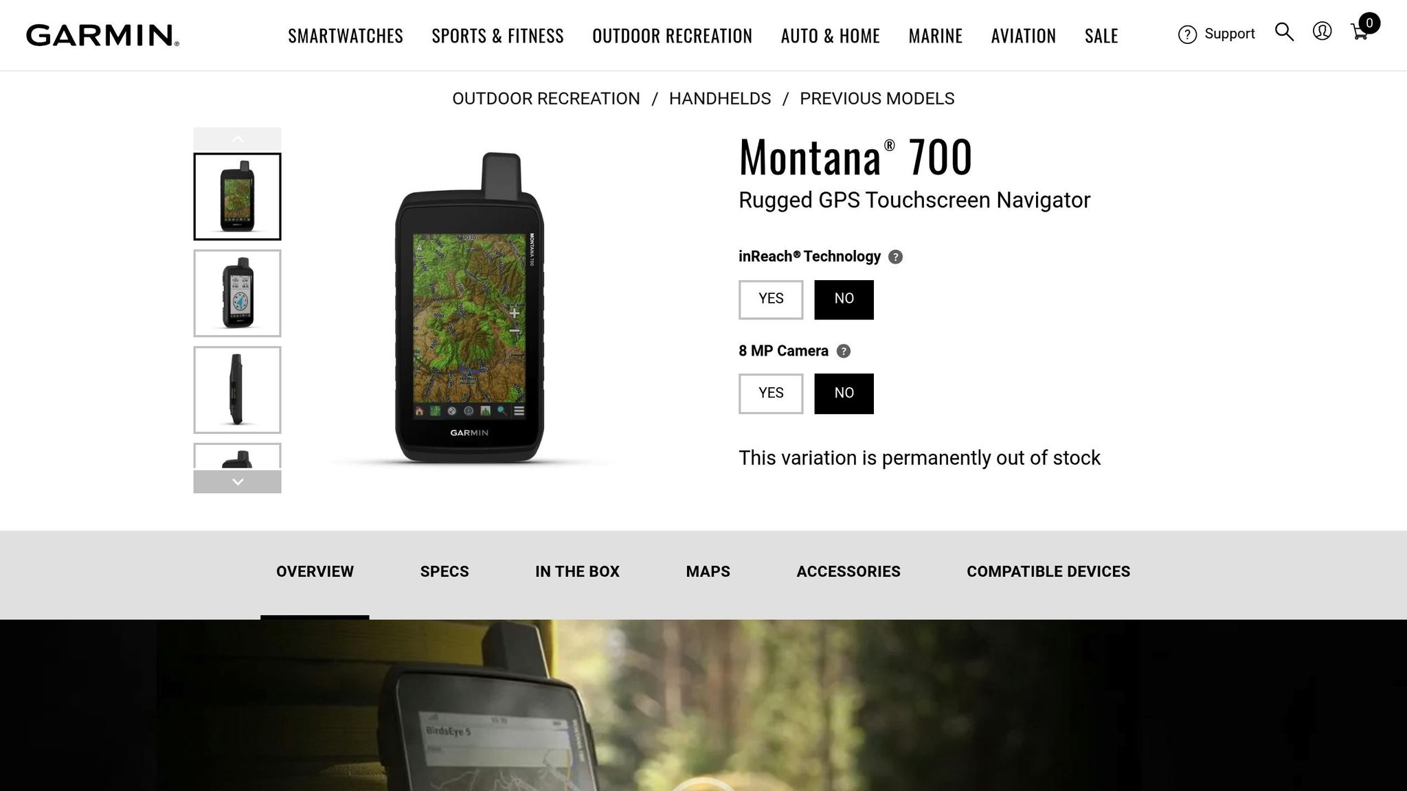
If durability is your top priority, the Garmin Montana 700 (or the 710i with inReach, priced around $800) is built to endure tough conditions. It meets MIL-STD-810 standards and is rated IPX7 for water resistance. The device features a 5-inch touchscreen that works with gloves, along with ABC sensors (altimeter, barometer, compass) and preloaded TopoActive maps. Its battery runs for 24 hours in GPS mode and up to 440 hours in expedition mode.
Weighing 14.5 ounces, the Montana 700 is hefty but ideal for users who need a large display and rugged build. It charges via USB-C for quick recharges, and handlebar mounts are recommended for technical cycling descents.
Garmin eTrex SE: Budget Pick
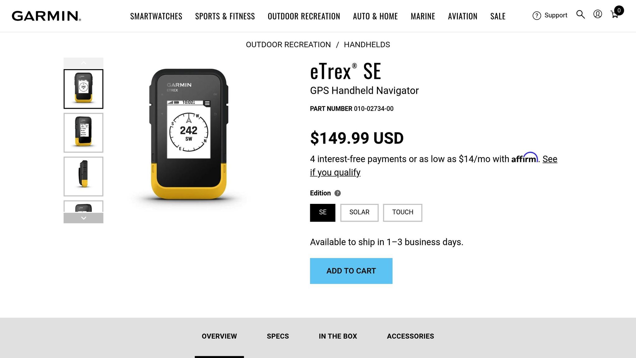
For those on a budget, the Garmin eTrex SE offers solid performance at just $150. This device runs on AA batteries, providing up to 168 hours in standard mode and 1,800 hours in expedition mode. It supports five satellite systems (GPS, GLONASS, Galileo, BeiDou, and QZSS) and weighs only 5.5 ounces.
Its 2.2-inch monochrome screen is small but easy to read, and the physical buttons work well with gloves. While it lacks satellite messaging and SOS features, the eTrex SE is a reliable backup for trails with clear routes. GearJunkie rated it 6.5/10, noting its usefulness as a secondary device for established paths.
Garmin Edge 1030 Plus: Best for Cycling Features
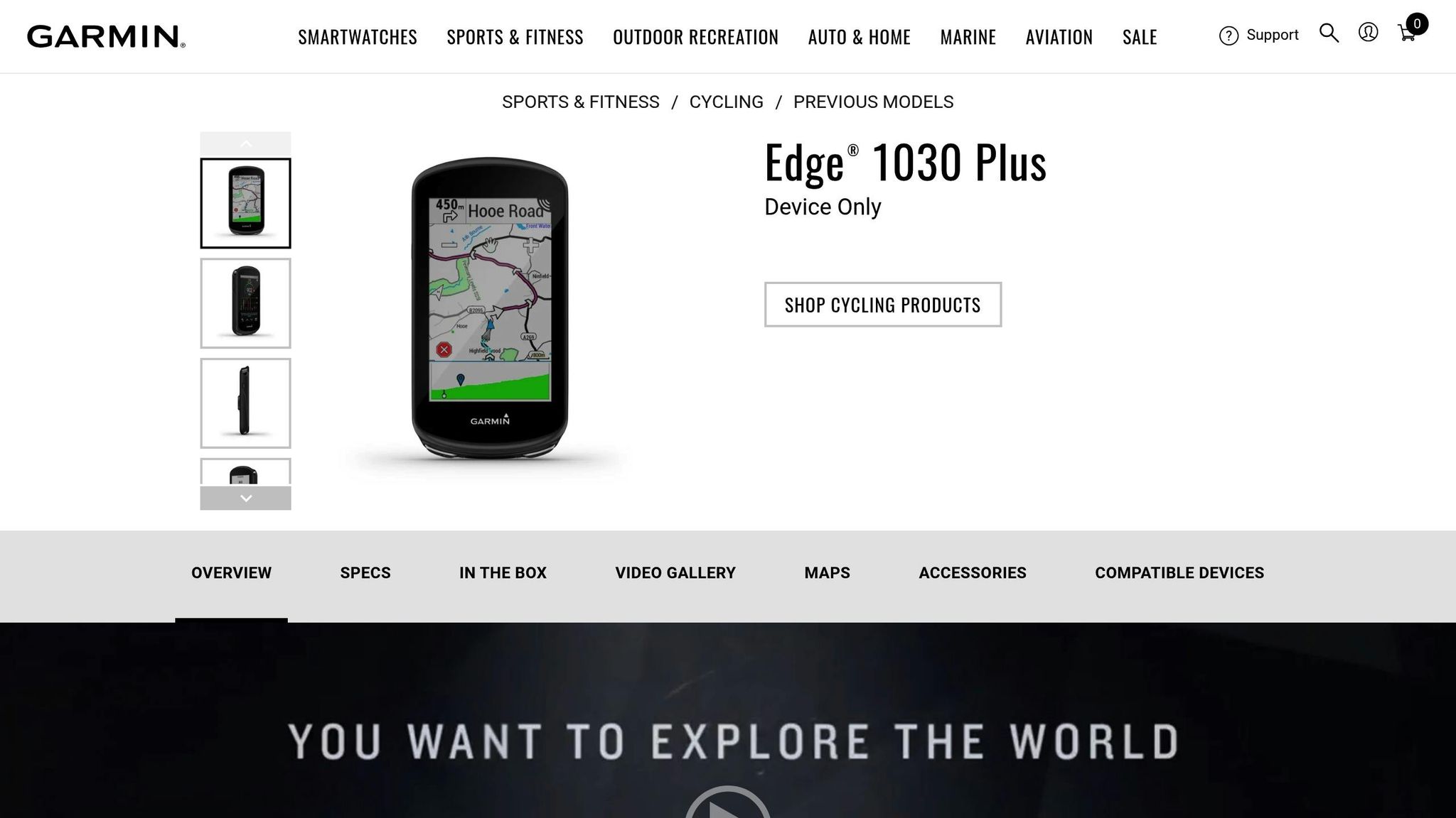
The Garmin Edge 1030 Plus is tailored for cyclists, offering features like crash detection, which alerts emergency contacts with your GPS location if it senses a fall. It also supports live location sharing, letting others track your ride in real time. However, these emergency features rely on a paired smartphone with cell service, as the device lacks satellite communication. With a 24-hour battery life, it’s perfect for day rides but less suited for multi-day backcountry trips.
This device excels in cycling-specific features, such as power meter compatibility, climb tracking, and integration with trail mapping apps. For rides beyond cell coverage, pairing it with an inReach Mini 2 ensures satellite backup for emergencies.
Emergency Feature Comparison
When it comes to emergency features, understanding the differences in satellite communication, battery life, and durability can make all the difference in critical situations. Here’s a side-by-side look at some popular devices to help you assess what fits your needs.
Comparison Table
| Device | Price | Satellite SOS/Messaging | Battery Life (Standard/Expedition) | Durability Rating | Multi-GNSS Support | Weight |
|---|---|---|---|---|---|---|
| Garmin GPSMAP 67i | $600 | Yes (2-way inReach) | 180 hrs / 840 hrs | IPX7, MIL-STD-810 | GPS, GLONASS, Galileo, QZSS, BeiDou, IRNSS | 9.7 oz |
| Garmin inReach Mini 2 | $400 | Yes (2-way inReach) | 336 hrs (10-min tracking) | IPX7 | Multi-GNSS | 3.5 oz |
| Garmin Montana 710i | $800 | Yes (Integrated inReach) | 18 hrs / 330 hrs | IPX7, MIL-STD-810 | GPS, GLONASS, Galileo | 14.5 oz |
| Garmin eTrex SE | $150 | No | 168 hrs / 1,800 hrs | IPX7 | GPS, GLONASS, Galileo, QZSS, BeiDou | 5.5 oz |
| Garmin Edge 1030 Plus | ~$600 | No (requires phone pairing) | 24 hrs | IPX7 | Multi-GNSS | N/A |
The Garmin GPSMAP 67i and Montana 710i shine with their MIL-STD-810 certification, which ensures they can handle military-grade conditions like thermal shock, vibration, and water exposure. All devices meet the IPX7 standard, meaning they can survive submersion in up to 3.3 feet of water for 30 minutes. However, only models with inReach satellite communication can send SOS alerts through the Iridium network. Devices without this feature, like the eTrex SE and Edge 1030 Plus, depend on cellular coverage or smartphone pairing.
Battery life is another key factor. The eTrex SE offers an impressive 1,800 hours in expedition mode using standard AA batteries, making it ideal for extended trips. On the other hand, the Montana 710i, with its large 5-inch touchscreen, consumes more power but still delivers solid performance. Keep in mind that using satellite messaging requires a subscription, starting at $15 per month.
If standalone satellite communication is a priority, an inReach-equipped device is essential. For those who can rely on a smartphone, the Edge 1030 Plus is a strong option for cycling and day trips but lacks independent emergency messaging, making it less suited for multi-day backcountry adventures.
What to Look for in Emergency GPS Devices
Satellite Communication and SOS
Two-way messaging stands out as a game-changer compared to one-way beacons. While Personal Locator Beacons (PLBs) only transmit a distress signal, devices equipped with satellite messaging allow you to communicate directly with Search and Rescue (SAR) teams. This means you can provide crucial details – like whether you’re dealing with a broken leg, equipment failure, or dangerous weather conditions – helping responders send the right resources for your situation.
For mountain bikers and adventurers in remote areas, the Iridium network is a top choice. Its cross-linked mesh system performs better in challenging environments like dense forests or deep canyons, where other satellite systems often struggle. This reliability is vital when you’re navigating technical trails surrounded by thick trees or towering rock walls.
"SAR experts confirm that the most important information to relate is 1) where you are and 2) how bad it is." – Jediah Porter, Review Editor
Some devices now support photo and voice messaging. For example, the Garmin inReach Messenger Plus allows users to send photos and 30-second voice memos via satellite. These features can provide first responders with visual context, such as the severity of an injury or the terrain you’re trapped in. Garmin inReach devices have already been involved in over 10,000 rescue operations. Additionally, a dedicated SOS button – usually protected by a cover – ensures you can call for help with just one touch, even if you’re injured or wearing gloves.
With these advanced messaging capabilities in mind, it’s also critical to consider how battery life and durability contribute to a device’s overall reliability.
Battery Life and Durability
How often your GPS sends location updates affects battery life. For example, devices that ping every 2 minutes will run out of power much faster than those set to 10-minute or 4-hour intervals. The Garmin inReach Messenger Plus can last up to 600 hours (25 days) in low-power messaging mode, while the eTrex SE offers an incredible 1,800 hours in expedition mode using standard AA lithium batteries.
Dedicated GPS devices outperform smartphones in harsh conditions. Built to withstand rugged environments, these units meet IPX7 waterproof standards (submersible up to 3.3 feet for 30 minutes) and MIL-STD-810 specifications for resistance to thermal shock, vibration, and impact.
"I’ve seen phones shut down at 15°F, watched batteries drain in 4 hours with GPS active, and witnessed screens become unreadable in direct sun with wet fingers." – Sean Nelson, Author
For extended trips, choose devices with replaceable batteries. Models like the eTrex SE use AA batteries, which can be swapped out in the field, freeing you from relying on charging stations. For shorter outings, devices with internal Li-ion batteries and USB-C charging are sufficient, but it’s always smart to carry a power bank as a backup. Additionally, button-operated displays are more practical than touchscreens in cold weather or when wearing gloves. Together, these features ensure your device remains functional during emergencies in remote areas.
While battery life and durability are key, accurate navigation is just as important for staying safe in technical terrain.
Multi-GNSS Accuracy and Usability
Using multiple satellite systems (GPS, GLONASS, Galileo, BeiDou) enhances positioning accuracy in tough environments. These devices can lock onto signals faster and maintain accuracy within 8 to 12 feet, even under heavy tree cover or in narrow canyons. This level of precision is crucial when providing coordinates to rescue teams or navigating tricky singletrack trails.
Preloaded topographic maps are a must-have for backcountry adventures. Offline maps and digital elevation models allow you to navigate even when you’re far from cell service. Many GPS units can also connect to smartphones via Bluetooth, letting you plan routes on a larger screen while preserving battery life and maintaining a satellite link.
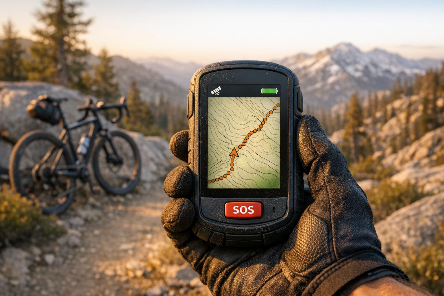
Always test your device and subscription before heading out. Ensure the SOS functionality is working properly and mount your GPS where it has a clear view of the sky – like in a top-of-pack pocket or on a shoulder strap. Stashing it deep inside your pack can block the signal. According to the National Park Service, there were 4,096 Search and Rescue incidents reported in 2017, averaging 11 per day. A properly configured GPS device can be the difference between a manageable challenge and a dire emergency.
Conclusion
Pick a GPS device that aligns with your riding needs, budget, and level of adventure. For mountain bikers heading off-grid, the Garmin inReach Mini 2 ($400) offers a great mix of features – it’s lightweight at just 3.5 ounces, provides reliable two-way satellite messaging, and was even named "Reader’s Favorite Gear of the Year" in 2025. If you prefer a device with detailed topographic maps directly on the screen, the Garmin GPSMAP 67i ($600) is a solid choice, though it comes with added weight and cost for those who need serious backcountry navigation.
For those on a tighter budget, the Garmin eTrex SE ($150) covers the basics of GPS tracking and navigation. However, it doesn’t include satellite communication, so keep that in mind for more remote trips. Each model has strengths tailored to specific scenarios, ensuring you’re well-prepared for any ride.
Tailor your GPS choice to the terrain and risks you’ll face. Local trails with well-marked routes typically require less functionality than remote bikepacking adventures where help may be days away. For extended trips, look for devices with replaceable AA batteries or solar charging options to avoid relying solely on power banks. If you often ride through dense forests or deep canyons, consider a multi-band GNSS device. These can offer accuracy within 15 to 25 feet, compared to smartphones that might drift by as much as 200 feet in challenging conditions.
"The choice of which device to buy depends on where you plan to travel, for how long, and how connected you’d like to be… as well as, of course, your budget." – Erica Zazo, Gear Reviewer
Preparation matters just as much as the device itself. Test your GPS on familiar trails to ensure it works as expected, including detecting detours and re-routing correctly. Place the device where it has an unobstructed view of the sky, like in a top-of-pack pocket or on a shoulder strap. And no matter how advanced your GPS is, always carry a paper map and compass as a backup – technology has its limits, especially when you need it most.
FAQs
Do I need a satellite subscription for SOS?
Yes, most GPS devices equipped with an SOS feature, such as the Garmin inReach, need a satellite subscription. This subscription is what allows the device to communicate with emergency services and its response center, ensuring that your SOS alerts are handled properly.
How do I keep my GPS working in cold weather?
In cold weather, your GPS battery can drain faster due to freezing temperatures. To keep it working, consider a few strategies. Carry a spare GPS device close to your body to keep it warm, and swap it out with the one in use when needed. You can also use thermal covers or keep the device near your body while carrying it to help preserve its battery life in harsh conditions.
Where should I mount or carry my GPS for best signal?
For the best signal, place your GPS where it can clearly see the sky – like on your bike’s handlebar or top tube. Keep it positioned horizontally and facing upward to ensure strong reception and make the screen easy to read. This setup is crucial, especially when navigating through remote areas or tough terrains.