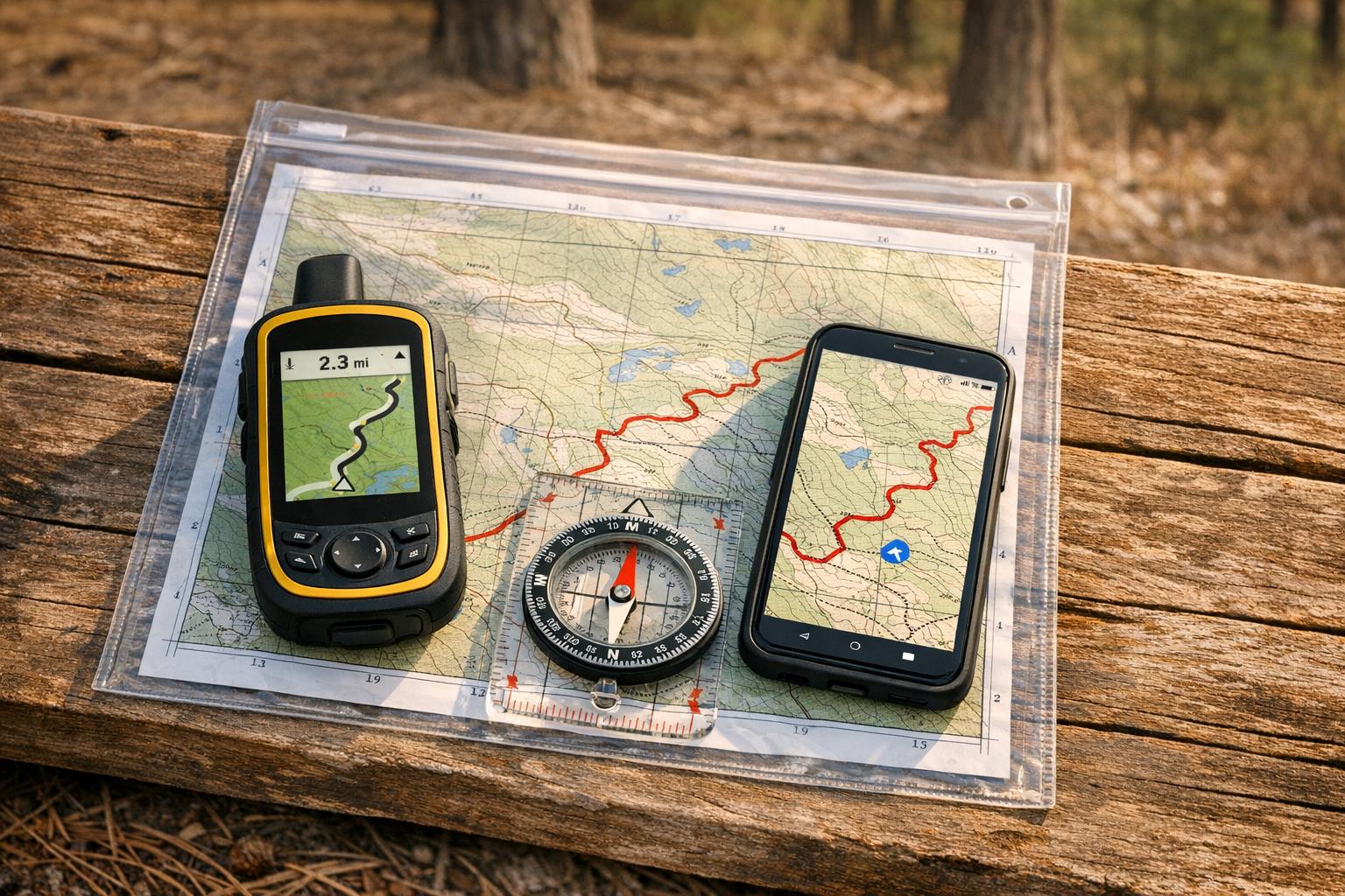
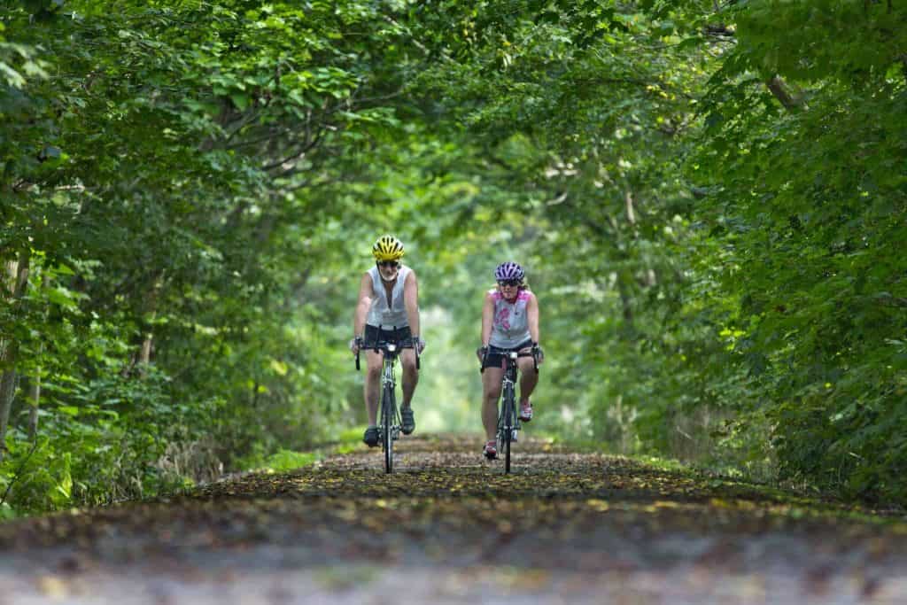
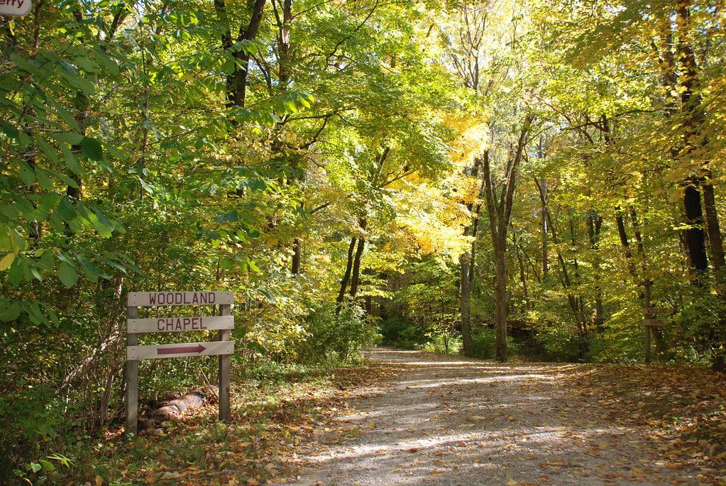
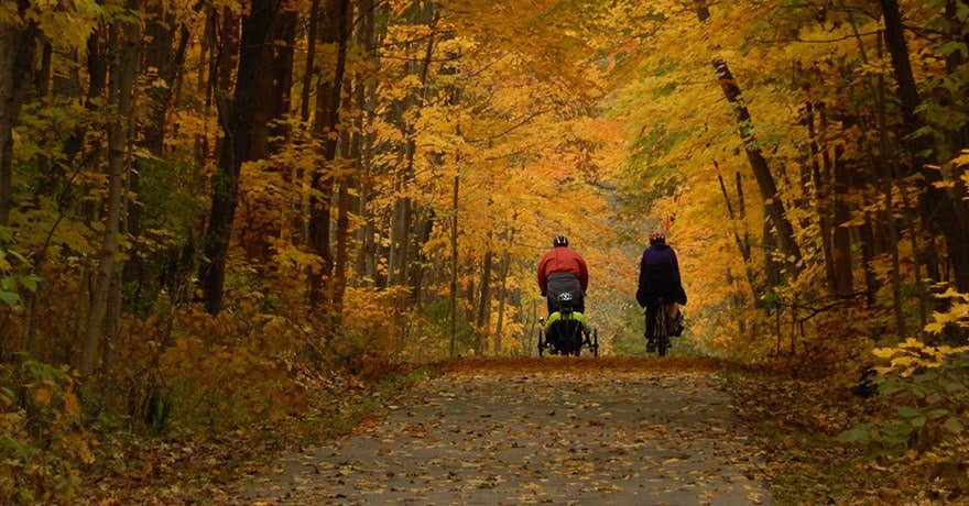
The state of Indiana is situated in the Midwest and Great Lakes regions of the USA. The state is small but populated with a big reputation for outdoor recreation, particularly when it comes to mountain biking. It features a variety of terrains and some of the best trails in the northern Midwest. The trails are designed for brave riders who want to test their speed limit and endurance. This article discusses the best and popular trails in Indiana.
1. Brown County State Park Biking Trails
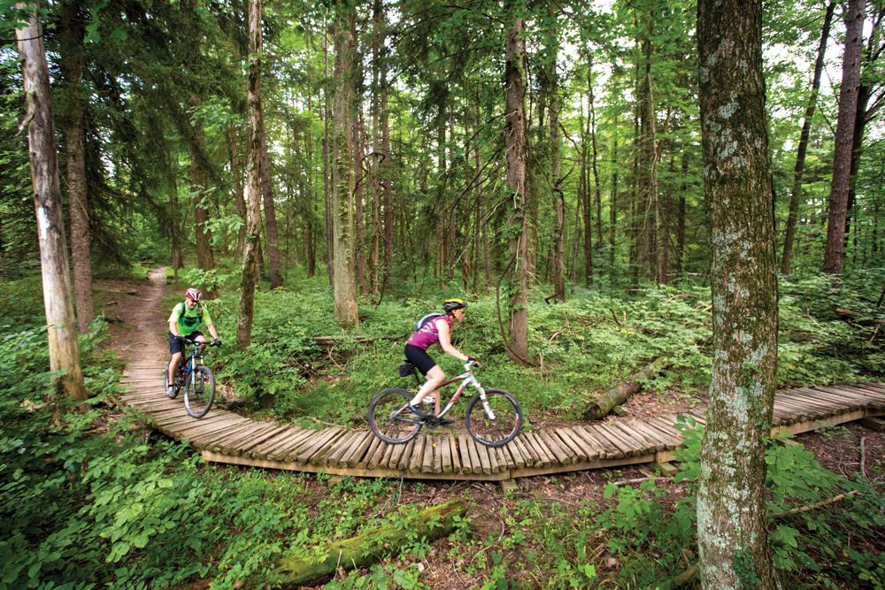
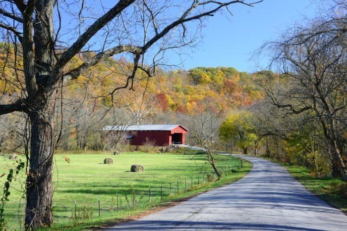
The Brown County State Park Biking Trail is located in Nashville, Indiana. Begin your ride from the North Gate trailhead. The ride covers most of the beginner and intermediate trails at the northern end of the trail system. The intermediates have elevation changes and flowy downhill sections.
When you reach the bottom of the Hesitation Point connector, the work begins. There is a small rest area near the frog pond where you can take a breather. Here, even a tree with a branch serves as a convenient work stand for riders who need to adjust.
There is a monster climb to the top of Hesitation Point, followed by Walnut Trail. To increase your mileage, you can hit a schooner on your way out. On the Limekiln, you will get a break as the trail becomes smoother and more flow. The trail then becomes harder on Walnut climbing back to Hesitation Point. You will also enjoy the descent from the Hesitation Point. It is also the direct route back to the North Gate Trailhead.
The Brown County State Park Biking Trail will push riders’ limits of your endurance and technical skill. Your bike should be in good shape and pack plenty of water and some food. You can also carry some electrolytes.
This ride is fun. After you are done riding, you can visit one of the wineries or breweries.
All the intersections on this trail are numbered. You can follow the route of the trail by connecting the numbers. Start from the North Gate trailhead; follow the Pine Loop for a warmup to intersection 1 at the North Gate Connector.
You can also head south from North Gate. This will take you to Intersection 2 with North Tower Loop.
Ride to clockwise direction on North Tower. You will find a swoopy, twisty trail to Intersection 4. Continue to Intersection 3 with the Green Valley Trail.
Keep following the Green Valley up to Intersection 6 with Aynes Loop. The technicality of climbing at the Green Valley trail is a notch higher.
On Aynes Loop, follow the clockwise direction to Intersection 5. Keep following the Aynes to Intersection 7. You can stop to rest at the old CCC shelter ruins before hitting up the climb.
Ride to the south on the Hesitation Point Connector to intersection 8 at the top of Hesitation
The Walnut Trail will take you to Intersection 9, Intersection 10, and then Intersection 11 with Limekiln Trail. The Walnut has technical difficulty. It is rocky too.
When you follow the Limekiln, it will take you to the Rally Camp Parking lot and then backtrack. This trail is easy and flowy. It will prepare you to climb up the Walnut.
If you are returning to the parking lot, countdown the intersection numbers in order from 11 to 1. Riding back to the parking lot is not difficult.
In Brown County State Park Biking Trails, there are numerous Civilian Conservation Corps activities. You can take photos of the old structures.
2. Rivergreen Way Trail
The Rivergreen way is a 30-mile park with trails in Fort Wayne and New Haven cities. It connects historical attractions, waterways, and 15 city parks. The trail has three main pathways named after the rivers they parallel. Some parts of the trail usually flood, so check their official website for updates.
St. Joseph Pathway is the northern branch of the Rivergreen way. It runs from Shoaff Park south to downtown Fort Wayne along the St. Joseph River. St. Mary’s Pathway starts from Tillman Park at Southtown Centre and runs along St Mary’s River. It is the southern branch of the trail that heads north to meet the St. Joseph Pathway. Both St. Joseph and St. Mary’s Pathways in downtown Fort Wayne lead to form the Maumee River. The Maumee Riverrun flows alongside Maumee Pathway into New Haven.
The St. Joseph trail travels along an unfinished, rutted, gravel-and-dirt section from its second mile for the next 1.6 miles. The paved trail then resumes and continues east to the Purdue University Fort Wayne campus across the bridge over St. Joseph River. The trail then heads north to St. Joe Road. On the south, it goes over Coliseum Boulevard and connects to Johnny Appleseed Park across the river.
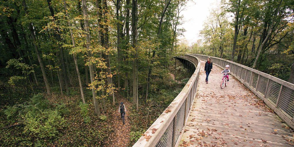
The St. Mary’s Pathway starts from Southtown Centre near Tillman Park. The trail runs along the east side off the St. Mary’s River to Foster Park. It then crosses over the river. On the trail, there are lovely wood platforms that extend over the river. Some trails are narrow. The trail heads to Swinney Park with an option of going west to connect with Wabash & Erie Canal Towpath Trail, which heads southwest to the Lutheran Hospital of Indiana.
There is a short on-road section north out of Swinney Park, which passes through a less-trafficked residential street. You can also take a separated trail from here that leads to Lawton Park. The tail comes behind the Historic Old Fort and connects to the St. Joseph Pathway.
From here, ride along the trail on Spy Run Avenue and connect to the Maumee Pathway and New Haven. The trail also connects with other segments of the St. Joseph Pathway.
3. The Monon Trail
Most of the Indianapolis residents consider Monon Greenway as the beginning of the Monon Trail. The Greenway is at the northern end of the rail trail in Carmel, Indiana. The Monon Greenway starts from 146th Street through Carmel to 96th Street at the Hamilton County/Marion County line. The trail extends a few miles to the north beyond highway 32. The trail is not paved entirely.
Not every rider achieves their personal goals in terms of time and distance. Many take riding as an opportunity to breathe fresh air and encounter new experiences. The Monon Trail is unique as it bisects and connects cities and neighborhoods. This entices riders to take a breather and exploring.
4. Cardinal Greenways Trail
The Cardinal Greenways Trail is the longest rail-trail in Indiana. The trail connects Marion, Muncie, Losantville, Richmond and a host of other small towns in rural northeastern Indiana. The name Cardinal comes from the passenger train that used to pass that route. This trail became enlisted into the Rail-Trail Hall of Fame.
The trail is open from morning to evening, and it’s well maintained and mostly flat. The design elements are consistent with arched steel decoration on bridge crossings and stone mile markers every half a mile throughout the park.
The Cardinal Greenway trail starts from north of Marion and connects to the Sweetser Switch Trail. It runs south back into downtown Marion. The trail is a stretch from the beginning to Marion. It runs close adjacent to, then crosses an active Norfolk Southern line. It then passes through a flat, rural landscape highlighting the industrial and farmland scenery.
The trail is a doorway to the Great American Rail-Trail, an almost 4000-mile developing trail. It will connect from Washington, D.C.
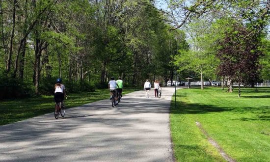
5. Indianapolis Cultural Trail
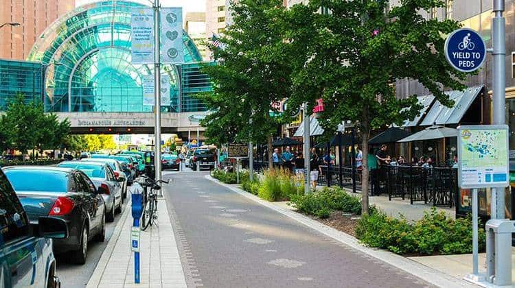
Indianapolis Cultural Trail is in downtown Indianapolis. It is an ideal way to experience all the city has to offer. This trail links five cultural districts flush with museums, theatres, shops, restaurants, hotels, and parks. The trail features scenic public art commissioned for each of the neighborhoods where it passes.
The route has a downtown loop with a northeast spur that heads out along Massachusetts Avenue. To the south, it connects with the Monon Trail. The other spur starts from the southeast corner along Virginia Avenue through the Fountain Square Historic District. Here, it connects to the Pleasant Run Trail. From the intersection with the Pleasant Run Trail north to Prospect Street, this part of the trail is an on-road separated bike route. A small part of the trail from the southern midpoint of the downtown loop leads to the Indiana Convention Centre.
From the southwest end of the downtown to the north, you will come to a beautiful 1-mile canal. There is a wide slope from the bridge leading to the canal loop. Pedestrians mostly use the canal loop, so be careful. The loop has an incredible combination of the Indianapolis Central Library, American Legion Mall, and University Park. The canal is accessible from the northern end of the loop.
The trail is clearly identifiable throughout. It has tinted concrete pavers, giving continuity. There is no official start or endpoint of this trail, increasing its benefit because you can access it anywhere along the route. Bike-share stations are located along the trail. Snow is removed during winter, making it accessible any time of the year.
The Indianapolis Cultural Trail is one of the urban trail network that offers residents and visitors biking and walking options for a fun ride.
6. Hayes Arboretum Trail
Hayes Arboretum trails are 7.5 miles long. They are well maintained. The trail has a wooden berm turn, three tree canopy features, table-top, road jump, eleven wooden bridges, 4 log features, and a 3-acre pond. It has an artificial bike rack and an air pump at the parking lot. Along the trail, there are restaurants, banks, and gas stations. You can visit all three trail systems in Hayes Arboretum trail.
The trail is on 350 acres of the Hayes Arboretum east property. The trail system consists of a Blue Trail, Yellow Trail, Orange Trail, and Red Trail that are challenging. From the trailhead, you will begin on the Blue Trail. They are all marked at turns and intersections.
The park recently completed a ¾ of a mile extension to the Yellow Trail. It includes berms and elevation changes. The Orange trail was also extended. The Red trail, which was recently extended for 2 miles, is used to create a closed-loop course with many features.
The trail is up-to-date on their Facebook page. There is a parking lot at 191 Hayes Arboretum Road. There are printed maps available at the parking. You will find a bicycle stand with an air pump in the trail too. The tail is marked and has plenty of signage. The trail is always under improvement. Don’t forget to visit.
7. Pumpkinvine Nature Trail
The Pumpkinvine Nature Trail covers about 17 miles between Goshen, Middlebury, and Shipshewana towns. The trail got its name from the many curves and turns.
At the start of trail, there is an incredibly scenic landscape. The trail is well maintained and has mile markers. It is also paved except for a short section of crushed limestone in the middle of Goshen and Middlebury. The trail begins in downtown Goshen. It then connects at North Fifth Street to Wilden Avenue Trail. It runs for 3.2 miles in the west and connects to Mapple Heart Trail. It goes all the way to Elkhart.
8. Versailles State Park Trails
Ride at Versailles State Park Trail if a little bit of everything. It varies from a buff, flowy single-track to rocks, roots, and technical obstacles.
Start your riding at the pool parking lot. Ride clockwise and then connect to Cliffside. Ride towards Center Loop. Follow it anticlockwise to Grandview Loop. Keep following this loop in an anticlockwise direction up to Creekside and the Turtle Loop. Change to clockwise direction from the Shadow Run loop.
The route maximizes the fun downhill. To maximize the mileage, you would have to use the opposite direction. The climbs become more difficult.
All the trails allow two-way traffic. Look-out for other riders from the opposite direction.
After a hot ride, you can also enjoy the pool. There is also a camp store nearby for a snack. You can also find lodging nearby.
9. B-Line Trail
B-Line is one of the trails located between Hermit Placer trail and Moonstone Road. The town of Brickenridge extended the trail. The downhill and flows were upped. Climb to the top of the switchbacks to access the trail at Carter Park. Ride to the left, then to the right onto Moonstone Trail.
B-Line trail has several wooden structures, berms, and jumps. Descent to Hermit Placer, turn left to Jack’s Cruel Joke to go back.
Conclusion
Mountain bike trails are good for both casual ride and serious cyclists. Many of the paths in Indiana are built along old rail beds. This makes the trails also be called rail trails. Some trails in are paved with asphalt, and others are rugged. All these are best for mountain biking.